R40, R15 or R7.5: how long a Linden front walk has to be
Linden's ordinance sets three residential districts: R40 for lots of 40,000 square feet or more, R15 for 15,000 and R7.5 for 7,500. The setbacks in the table for principal buildings decide how far a front door sits from the road. In all three, the front setback is 30 feet from the right-of-way line. R40 lots are 100 feet wide with 15-foot side yards. R15 and R7.5 lots are 75 feet wide, with 10-foot side yards for a one-story house and 15 feet for two stories, and a 35-foot rear yard.
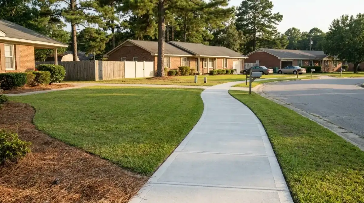
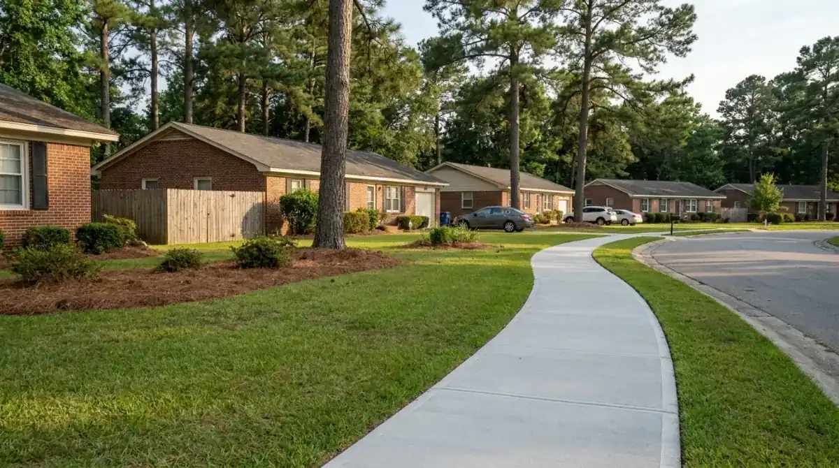
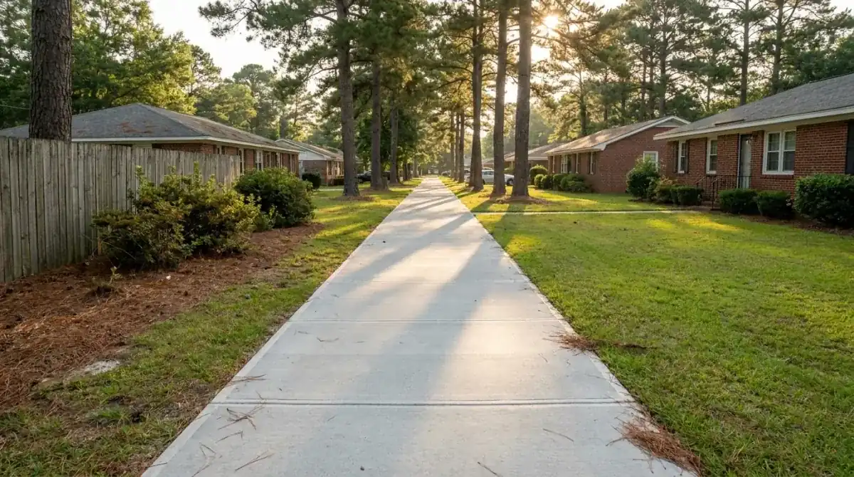
That tells you what a front walk costs before we measure. A house 30 feet back from the right-of-way line means a walk of at least 30 feet from that line to a front door, and more if we start at the pavement edge or the door sits to one side. Joints never go more than 18 feet apart, and on a 4-foot walk they land every 6 feet or less, so the 4x60 run in the table below is ten panels and 240 square feet. A side path to a back gate has 10 to 15 feet of side yard to work with in the table, which is enough for a 3-foot path with room left for a downspout.
If a big R40 lot is on septic, the walk, the driveway and the drain field can end up fighting for the same yard, so we mark the route with paint and string before we dig.
Walks in Linden price by the square foot at $7 to $13 per sq ft, or $28 to $52 per linear foot at 4 feet wide. Short runs hit a job minimum. The sizes below are examples.
| Job | Size | Per sq ft | What it comes to |
|---|
| Side path to a back door | 3x40 (120 sq ft) | $7 to $13 | $840 to $1,560 |
| Front walk across a deep yard | 4x60 (240 sq ft) | $7 to $13 | $1,680 to $3,120 |
| Long run from the road to a far door | 4x100 (400 sq ft) | $7 to $13 | $2,800 to $5,200 |
Figures assume a 4-inch walk on a compacted base. Tear-out of an old walk, extra stone over damp ground and steps change the total. The pricing guide shows how a number is built. We give a free written estimate after we see the site.
Roanoke, Warne and Wickham: poorly drained soils under a small town
Linden covers only about half a square mile, so a 40-point soil check is a close look at the whole town. Roanoke and Warne soils, both mapped as occasionally flooded, took 17 points, about 43 percent. Roanoke is poorly drained and Warne is somewhat poorly drained. Wickham fine sandy loam, well drained and mapped as rarely flooded, took 10 points. Dogue fine sandy loam, moderately well drained, took 7. Altavista took 4 and Tarboro loamy sand, somewhat excessively drained, took 2. Put together, 31 of 40 points, about 78 percent, sit in map units labeled occasionally or rarely flooded.
A federal flood-map check of the same points put 30 in minimal-hazard Zone X and nine in the 0.2 percent annual chance area. No sample point fell in Zone AE, and one returned no result. Small town, small sample, so treat it as a rough indicator and check your parcel on the state's flood risk lookup. The Little River forms the county line along the northern edge.
On soils that hold water, the base matters more than the slab. We dig the route, check how long water stays in the hole, and put stone under the walk where the ground stays damp. The walk gets a pitch to the side and we don't pour on saturated ground. A wet week moves the date, and you get a call from us instead of a walk poured into mud.